 Archived event
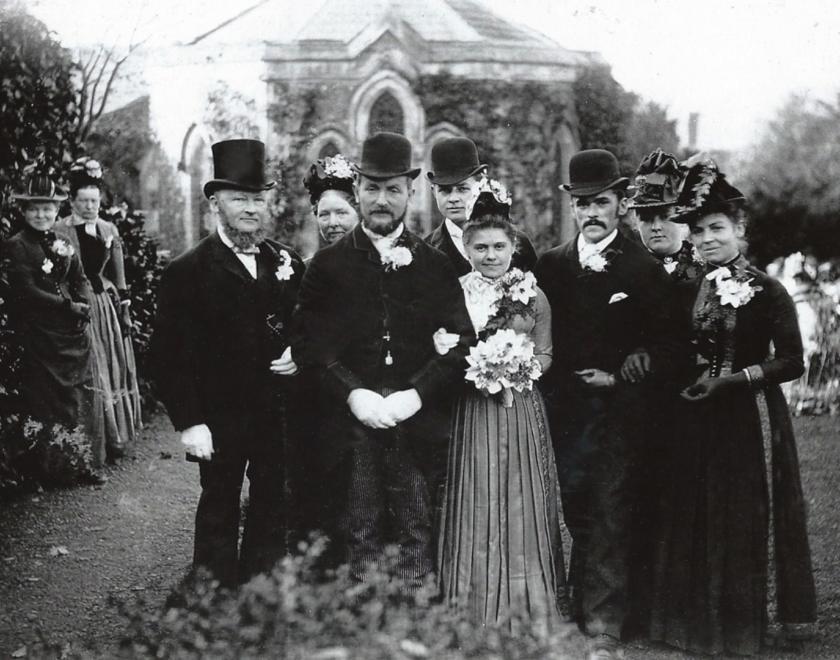
History & Heritage
,
Online
,
Spoken & Written Word
Archived event
History & Heritage
,
Online
,
Spoken & Written Word
Getting the Most out of the Maps Website Online Workshop
For family and Social Historians
If you like to better understand the lives of your ancestors and enjoy old maps – you will almost certainly enjoy this online workshop! The workshop will explore the country’s foremost online map collection. The National Library of Scotland, who host the maps website, holds over two million cartographic items, making it the largest collection of maps in Scotland and one of the largest in the world. There are several separate collections of maps within the library’s holdings, namely the Bartholomew Archive and the Graham Brown Collection. At the library, there are maps relating to many different kinds of landscapes, such as estates, counties, railways, maps which show the trenches of World War I, and alpine areas.
The collections include:
- Over 1.5 million sheet maps
- 15,000 atlases
- 100,000 maps on microfilm
- Over 200,000 digital maps
- Gazetteers, cartographic reference books and periodicals
- Map ephemera
Our tutor, Craig Statham, will take us on a tour of the maps, show how they can help us understand the environment our ancestors lived in, and explain how to get the most information from them.
Pre-booking is required, because the event link (Zoom) will be sent in advance.
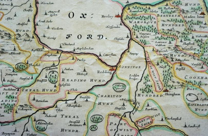
Image: Seventeenth Century Map of Berkshire, reproduced with the kind permission of the Berkshire Record Office
11am - 1pm
About Berkshire Family History Society
This workshop is organised by Berkshire Family History Society, a registered charity number 283010.